
AsianScientist (Oct. 18, 2016) – Scientists in Singapore and the US have come up with the idea of using the GPS data following a large earthquake to understand an age-old mystery about how water is distributed among the layers of Earth’s mantle. Their study was published in Nature.
Not only is the majority of Earth’s surface covered by water, water is also found in abundance within Earth’s interior. There, water helps in processes like mantle convection, plate tectonics, and arc volcanism. However, in spite of these important roles, the depth distribution of water in Earth’s mantle is still unknown.
In the present study, researchers from the Earth Observatory of Singapore and Yale University attempted to study the water content of the asthenosphere, the mechanically weak layer of the upper mantle that sits below the strong lithosphere.
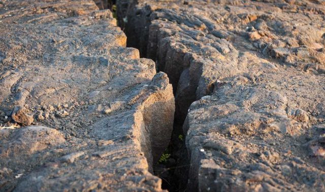
Water significantly reduces the strength of olivine, the weakest and most abundant mineral in the upper mantle. This effect can therefore be used to estimate olivine’s water content by studying the response of the asthenosphere to perturbations like those produced by large earthquakes.
Using seismic and GPS data collected from the 2012 Indian Ocean earthquake, the research team was able to constrain the stratification of water content in the upper mantle. While the exact content depends on the temperature at these great depths, which is poorly known, the water content is nevertheless estimated to be high—at least 0.01 weight percent.
“Till now, the water content estimation was limited to the laboratory studies of rock samples. However, our approach of using GPS data gives an alternate and will greatly benefit the scientists and the community to study water content and other parameters of the asthenosphere,” said PhD student Mr. Sagar Masuti, the lead author of the study.
The significance of this study is that eventually, scientists will be able to piece together how primordial water connects Earth’s history to the formation of the Solar System and the beginning of life on Earth.
The article can be found at: Masuti et al. (2016) Upper-Mantle Water Stratification Inferred from Observations of the 2012 Indian Ocean Earthquake.
———
Source: Earth Observatory of Singapore.
Disclaimer: This article does not necessarily reflect the views of AsianScientist or its staff.