
Fitting a planet in a computer
Decades ago, the most primitive climate models were only able to calculate surface temperature changes. Called energy balance models, they considered just one thing: the balance between energy entering the earth’s atmosphere from the sun, and heat released back out to space.
Today, their upgraded successors, known as Earth system models, can account for much more: heat transfer and flows of air and water between the atmosphere, oceans, land and ice; biogeochemical processes like the carbon and nitrogen cycle; even the impact of industrial activity.
One such model—the Energy Exascale Earth system model (E3SM) developed by the US Department of Energy— uses supercomputers to simulate the Earth’s climate at different locations and predict its continuing evolution over time.
Because the climate system is so large and complex, even the most sophisticated models cannot calculate wind, air pressure, temperature and humidity at every point on earth.
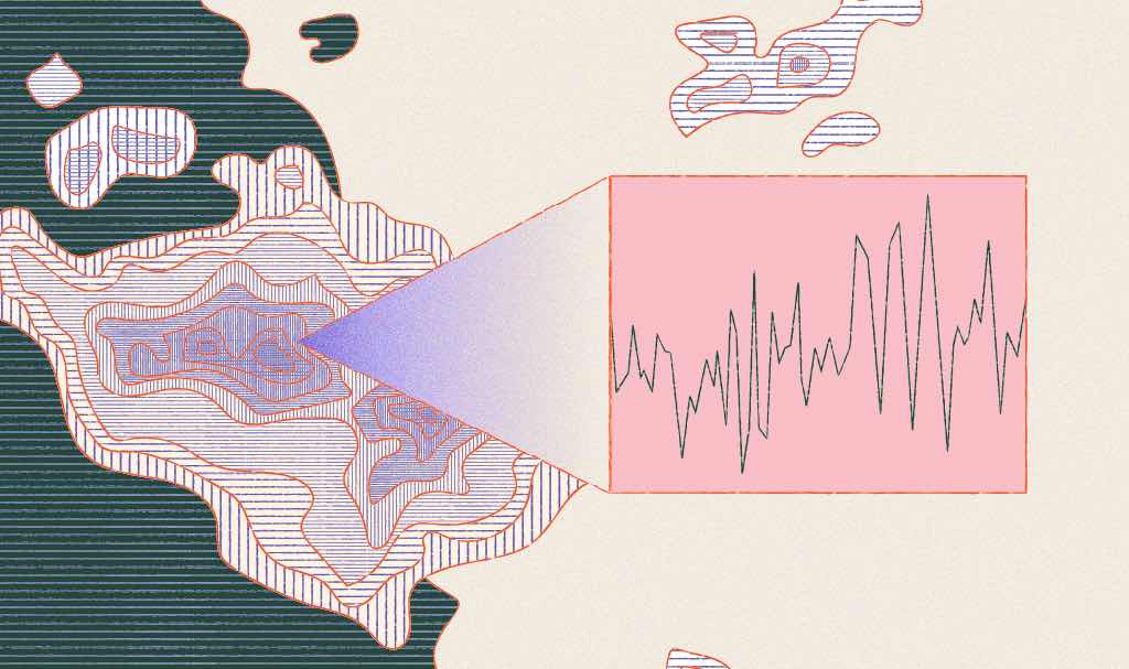
Climate models therefore split the globe up into many three-dimensional boxes known as grid cells. Incredibly, the E3SM is able to capture our climate at a high resolution of 15–25 kilometers compared with hundreds of kilometers in the older models.
To properly account for all the biogeochemical processes, the E3SM also requires a vast network of specialized modules. Each module maps out an environment, from rainforest to river systems.
Because each system and biogeochemical process impacts others in an intricate web, scientists have to contend with everything from the effect of plants on the water cycle, to how changes in surface temperature affect cloud formation.
Thanks to such detailed modeling, E3SM can predict near-term climate change effects: in particular, the formation and impact of the strongest storms threatening human life, property and coastal infrastructure. This helps provide advance warning for evacuation, visualize network outages for response efforts, and even guide investments in resilient infrastructure.