
AsianScientist (May 17, 2016) – Geologists from the Earth Observatory of Singapore (EOS) at the Nanyang Technological University have deployed a unique method to visualize underground faults. Their study, described in a documentary called The River Ratu Expedition, could help predict future earthquakes in Nepal, minimizing future loss of life.
The River Ratu Expedition was directed and produced by Professor Isaac Kerlow, group leader of the Art and Media team at EOS. The film was recently shown at a private screening in Singapore on 6th May, 2016.
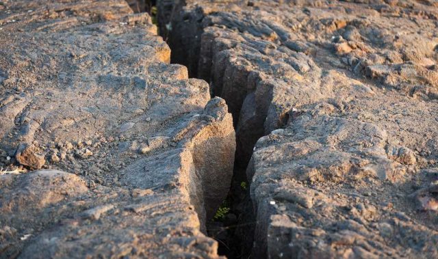
Nepal sits precariously on one of the biggest faults on Earth. The Main Central Thrust is the fault where the Indian plate burrows beneath the Eurasian plate; it is responsible for both the massive upthrust of the Himalayas, as well as the multiple earthquakes that have convulsed the region over the years.
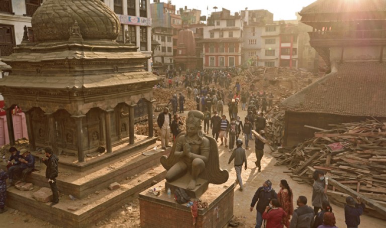
Nepal’s most recent earthquake occurred in 2015 near Kathmandu, claiming the lives of approximately 8,000 victims, and injuring and displacing untold numbers more. The 2015 quake is thought to be caused by subduction. Due to friction, the Indian plate had locked up against the Eurasian plate, generating immense pressure over the years. When this tension finally snapped, the plates buckled, sending tremors rippling through the crust as earthquakes.
To predict and prepare for future calamities, a band of scientists from the EOS have made it their goal to study this fault’s dispositions and temperaments.
Their study sweeps through the dry-season exposed bed of the Ratu river, 200 km Southeast of Kathmandu. To diagnose sections of the fault that have yet to break, these scientists utilize various technologies to assist their examination.
One key technology includes an array of ‘Geophones’—seismic sensors that detect seismic activity from below. This is complemented by the EnviroVibe, a burly truck that sends vibrational pulses into the ground that then bounce back off rock layers. Deployed together, the EnviroVibe bellows into the rock, while the Geophones listens to the echoes.
According to EOS’ Assistant Professor Judith Hubbard, this allows them to create “an x-ray, an ultrasound, an image of what the earth under our feet look like.” Unlike other survey methods that infer about the fault based only on surface deformities, the EOS team is able to directly visualize the subsurface faults that go down 5-15 km below the surface.
The collected data is crucial in helping geologists anticipate future earthquakes, thus minimizing future loss of life. The River Ratu Expedition explores the intersection between cutting-edge science and the stories and voices of Nepal’s earthquake survivors. It can be accessed for free at the following link.
———
Copyright: Asian Scientist Magazine; Photo: Shutterstock.
Disclaimer: This article does not necessarily reflect the views of AsianScientist or its staff.